Vertical/Building Construction
Terrawise Solutions offers Leica Geosystems vertical and building construction solutions. The solutions include hardware, ICON software, cloud services, and training. These solutions help improve speed, accuracy, and performance with intuitive construction software. Our vertical and building construction specialists can help you find the right solution for quick decision making to help minimize rework.

Experience the Difference of our Vertical/Building Construction Solutions
Together, we can unlock more productivity, efficiency, and accuracy in vertical/building construction operations.

Enhanced Accuracy
Achieve precise measurements and eliminate errors with our advanced vertical/building construction solutions.

Improved Efficiency
Increase productivity and reduce downtime with our intuitive and user-friendly vertical/building construction solutions.
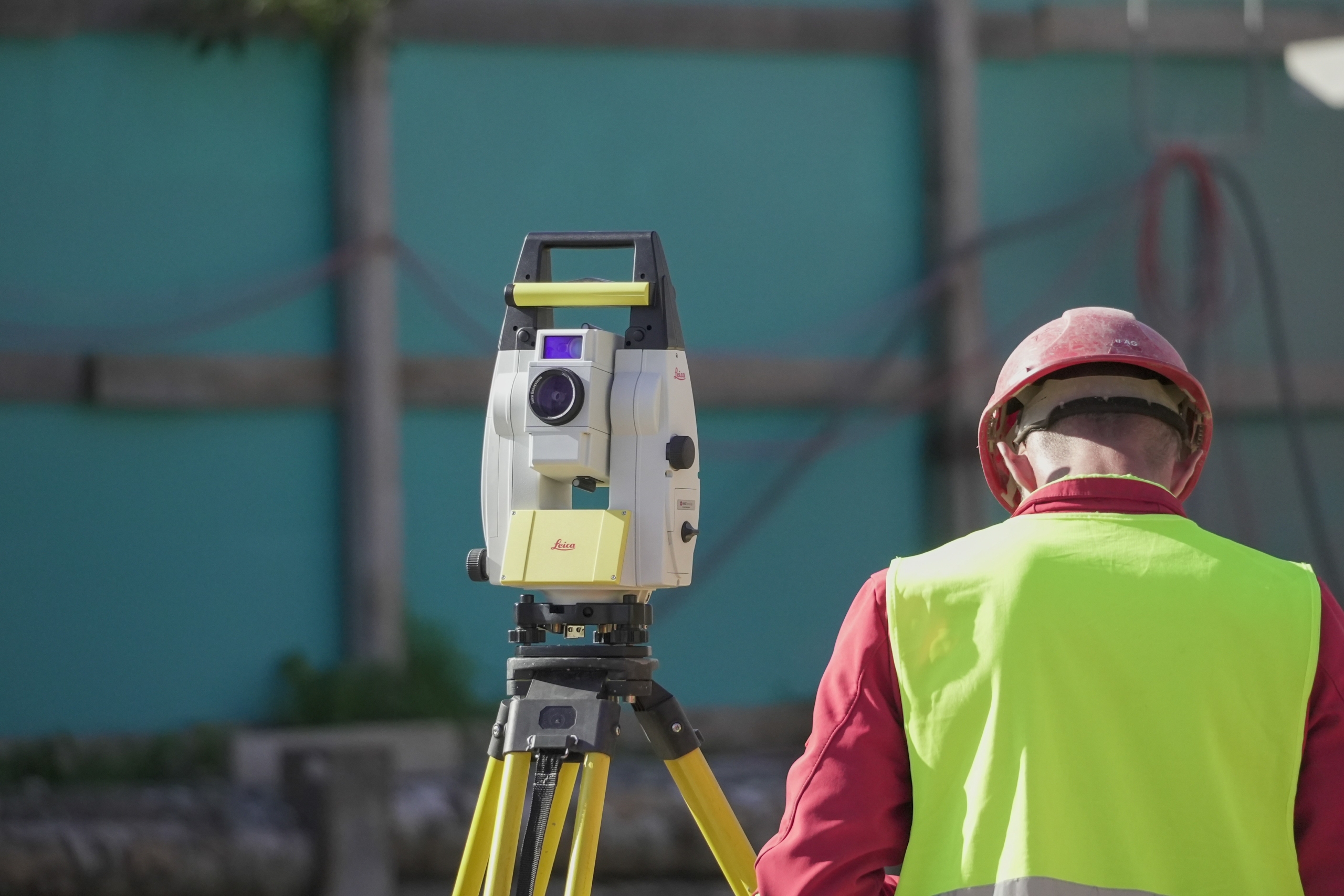
Total Stations
Terrawise Solutions offers robotic Leica total stations for building construction applications. These total stations are equipped with ICON software and are ready to tackle any job. They can be used for measurements and layout tasks. Let’s take a look at the available solutions.
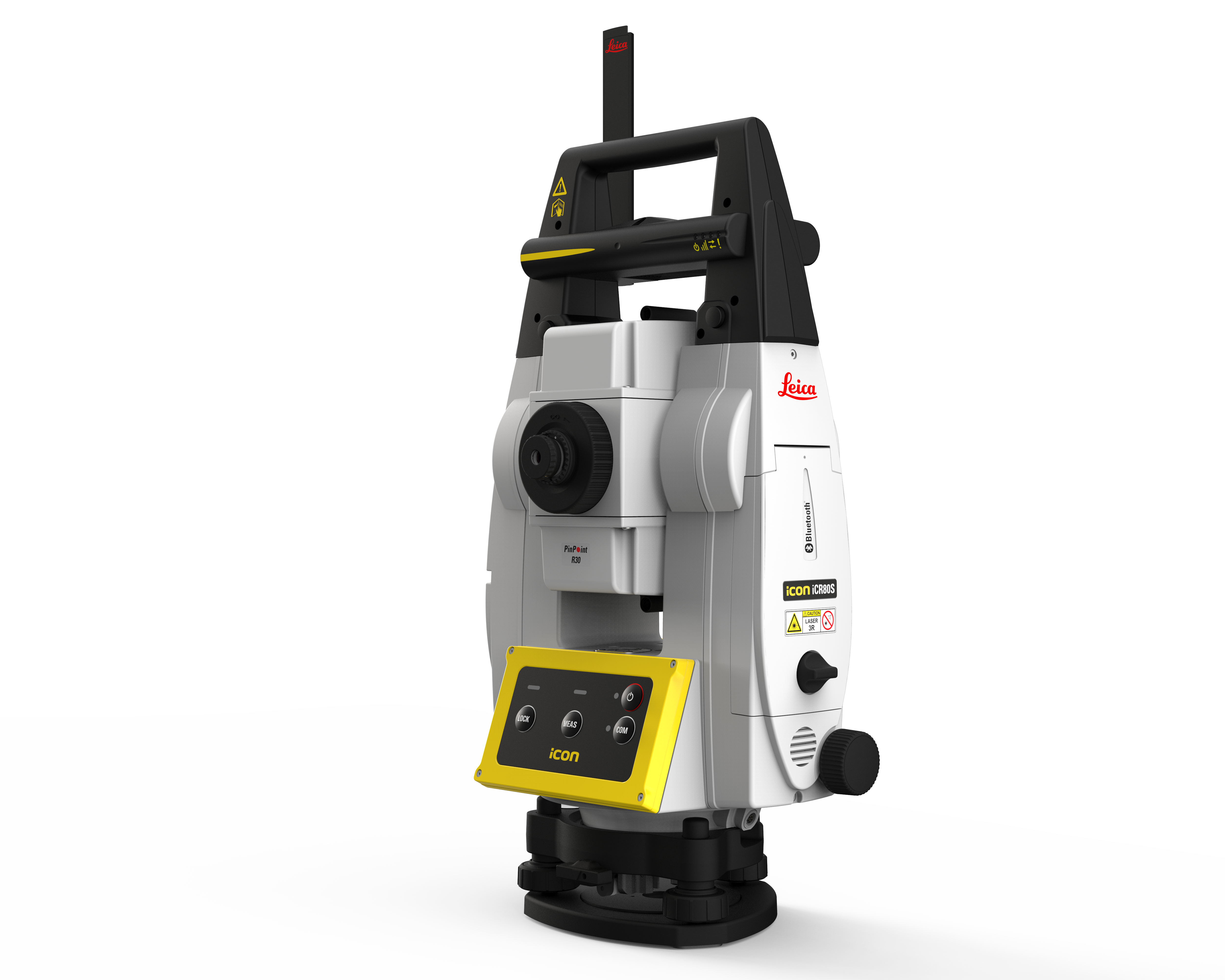
Leica ICR80
Leica ICS50 Layout Solution
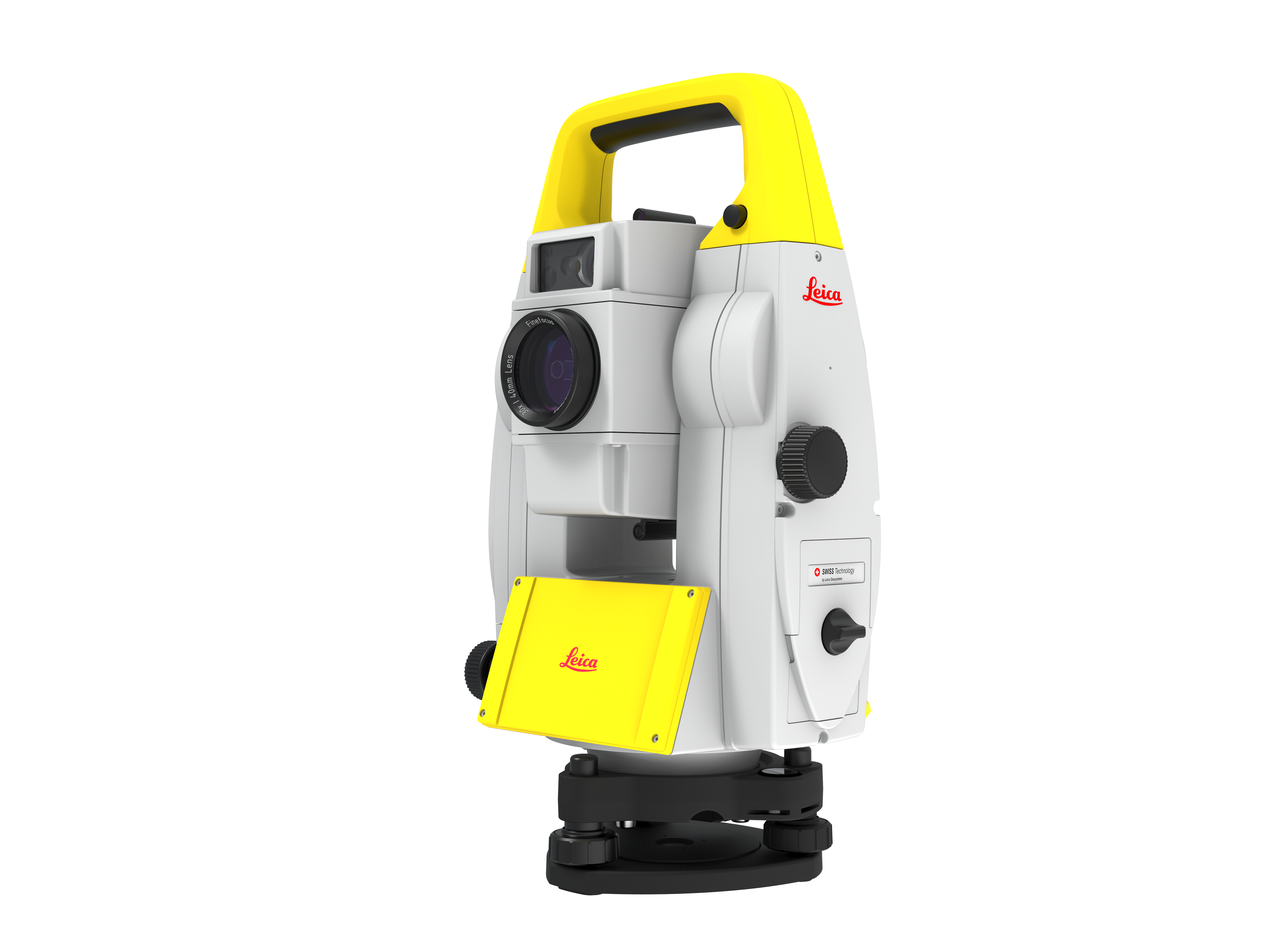
Leica ICR70
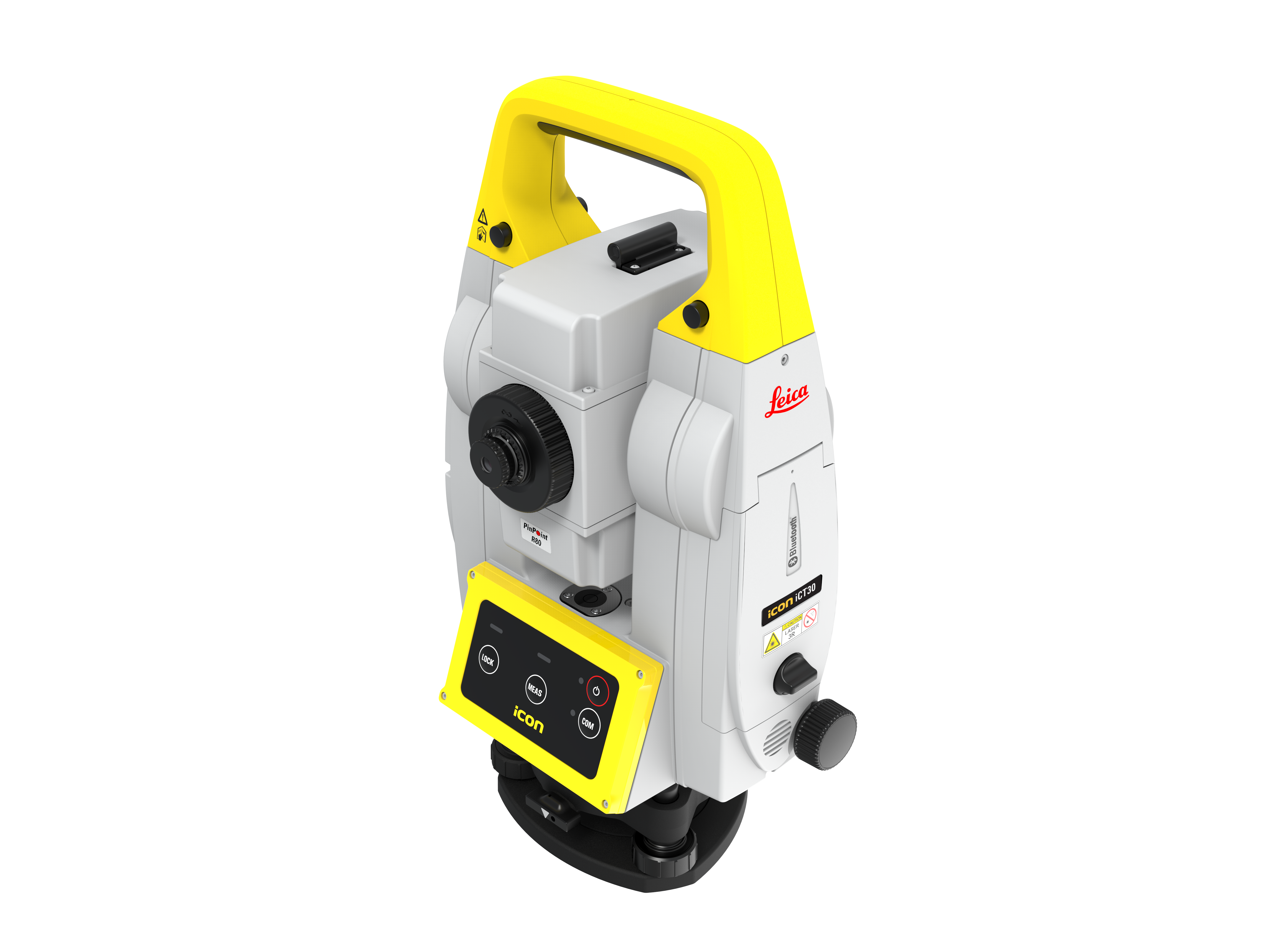
Leica ICT30
GPS Systems
Terrawise Solutions offers a variety of Leica ICON smart antennas to fit your construction needs. These GPS systems are built for the most strenuous site conditions and easily integrate with the Leica controller options. Let’s dive into some of these options.
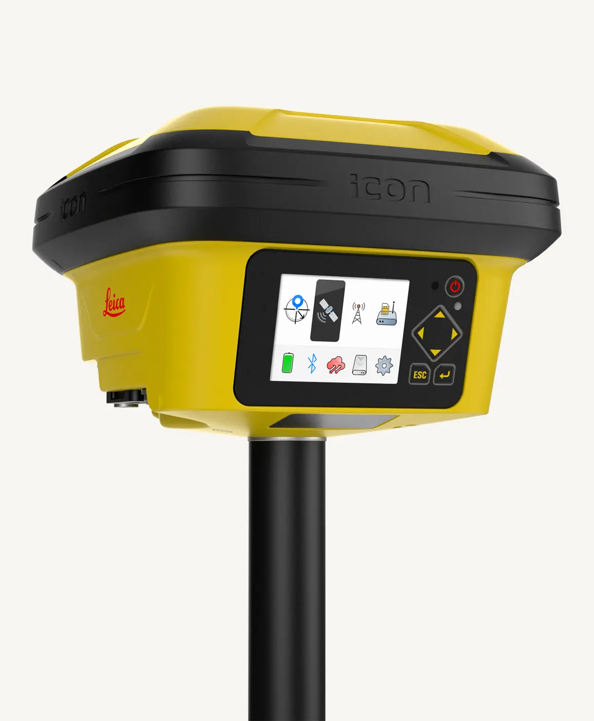
Leica ICG160
Leica 70T
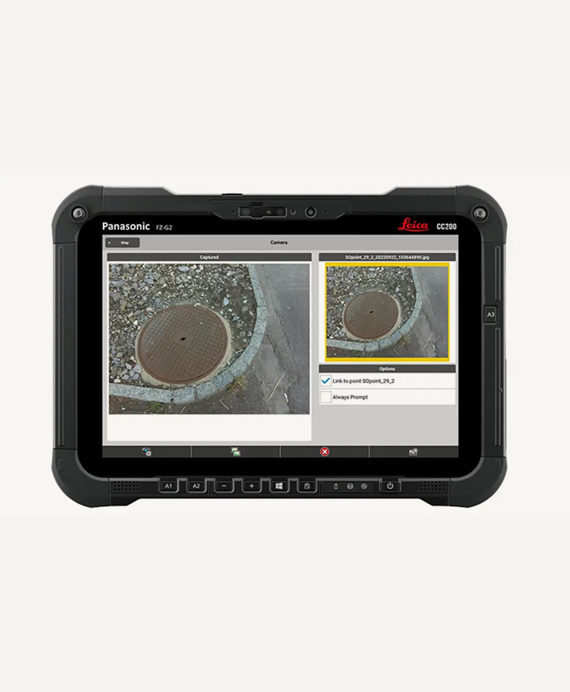
Leica ICON CC200
GPR
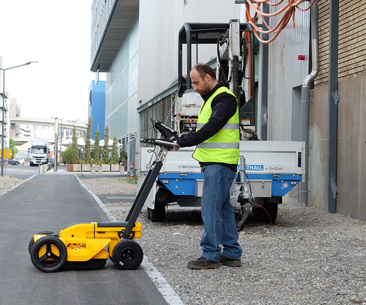
The Leica line of ground penetrating radar can help locate and map underground utilities clearly and effortlessly. These GPR solutions allow underground utility detection to be done non-destructively. Easily incorporate your positioning sensors to export your 3D map for machine control. Our GPR solutions quickly find all potential underground threats resulting in a safer and more stable jobsite.
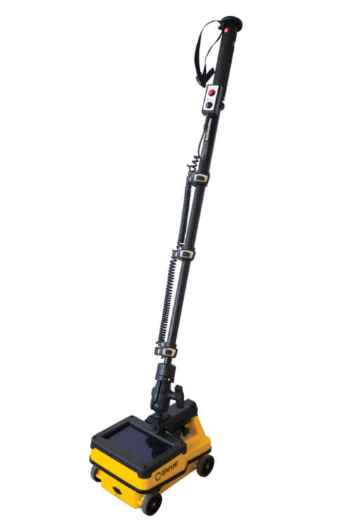
Leica C-Thrue
The Leica C-Thrue is a concrete scanner that is easy-to-use and offers a robust solution to reveal true data in concrete. Real-time 3D data visualization allows users to make optimal and quick decisions. Easily inspect or make sure you’re safe to drill a structure. This solution is suited for all construction sites and is a game changer in the concrete world.
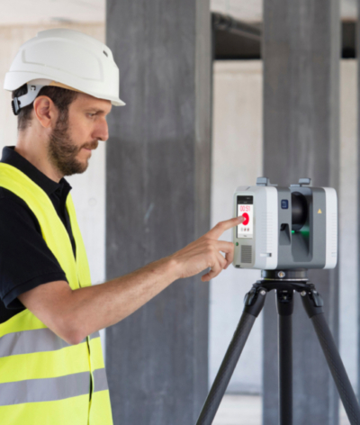
Leica RTC360
The Leica RTC360 is a 3D laser scanner that is a fast and precise 3D reality capture solution. The RTC360 enables users to capture and document their projects in 3D. This scanner is small and lightweight, making it portable and ready to be taken anywhere. The RTC360 features a one-button operation, allowing for fast and hassle-free scanning. Discover all of the possibilities with the RTC360 laser scanner that can handle project complexities with precise and reliable 3D representations.
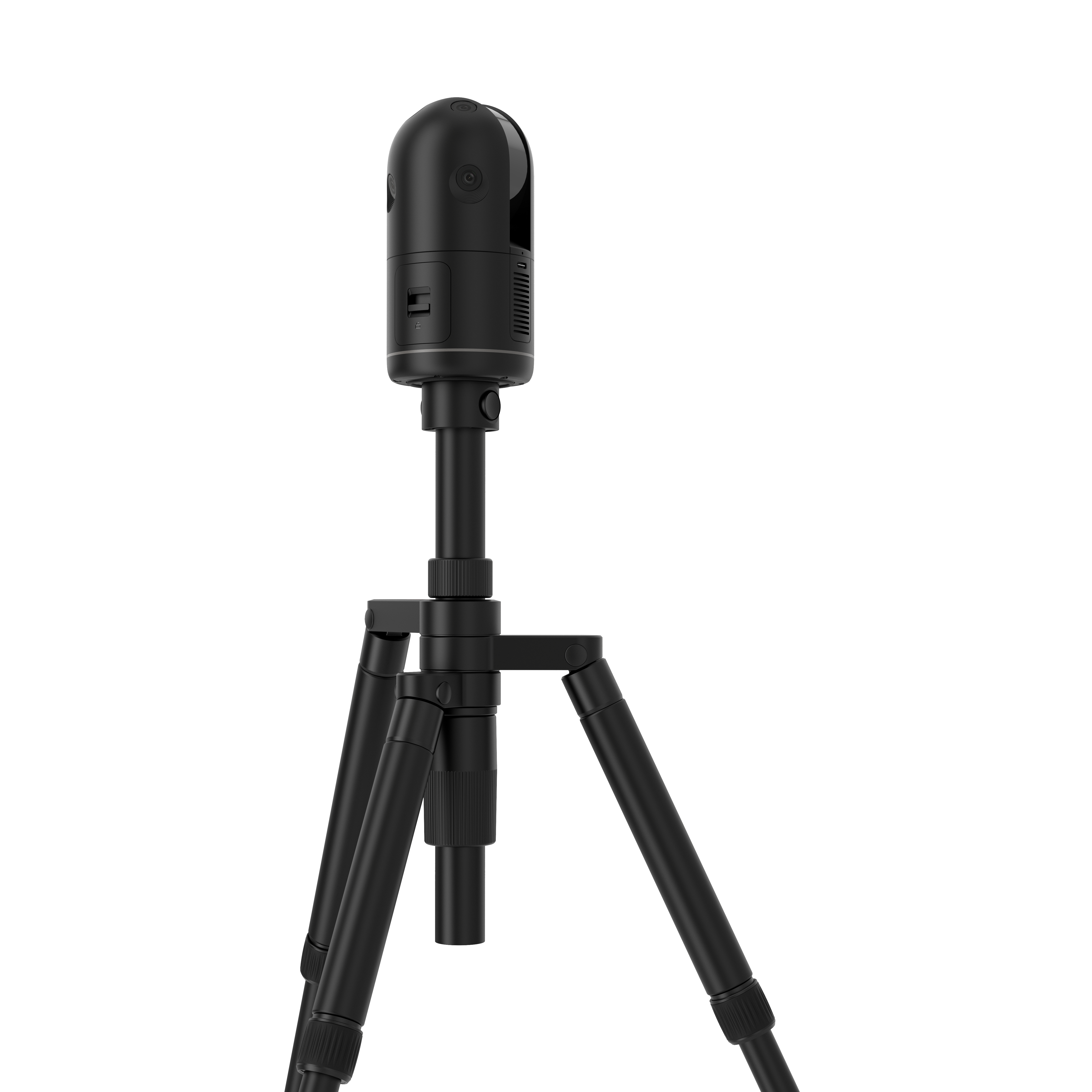
Leica BLK360
The Leica BLK360 is an advanced precision imaging laser scanner. This small and light scanner takes just 20 seconds for a full-dome scan with photospheres. The BLK360 allows users to work smarter and faster while getting the crucial data they need.
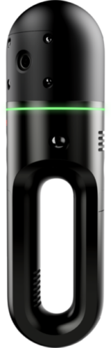
Leica BLK2GO
The Leica BLK2GO is a handheld imaging laser scanner. This handheld, wireless, and lightweight scanner is designed to capture reality wherever you go. The BLK2GO is fast and agile using SLAM spatial awareness technology to know where it is and where it has been. Experience the freedom of a scanner that moves with you.
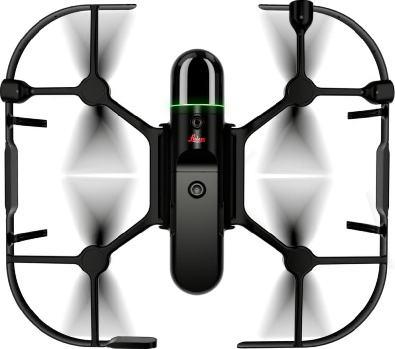
Leica BLK2FLY
The Leica BLK2FLY is an autonomous flying laser scanner. This is the world’s first fully integrated autonomous Lidar UAV. Equipped with obstacle avoidance this UAV makes capturing 3D data effortless. This solution allows you to scan hard-to-reach areas like building facades and rooftops. Experience the freedom of a scanner that flies for you.
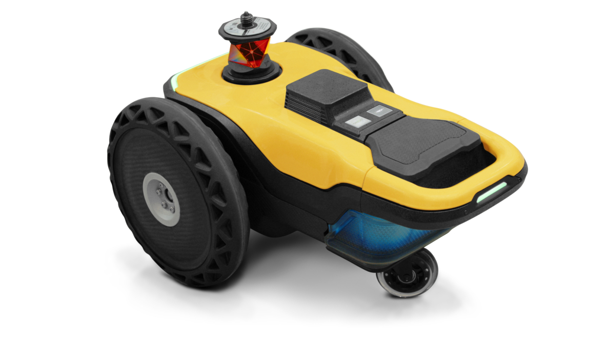
HP SitePrint
The HP SitePrint is a robotic layout solution for construction sites. This robotic solution allows digital layouts to be printed onto the floor. This easy-to-use solution will reduce layout and labor costs with autonomous technology. It will also enrich your site with printed text to allow for information to be available to everyone.
Talk to Terrawise
Whether you’re looking for service guidance or to expand your construction technologies, our team is here to help.