Introducing the Leica GS18i
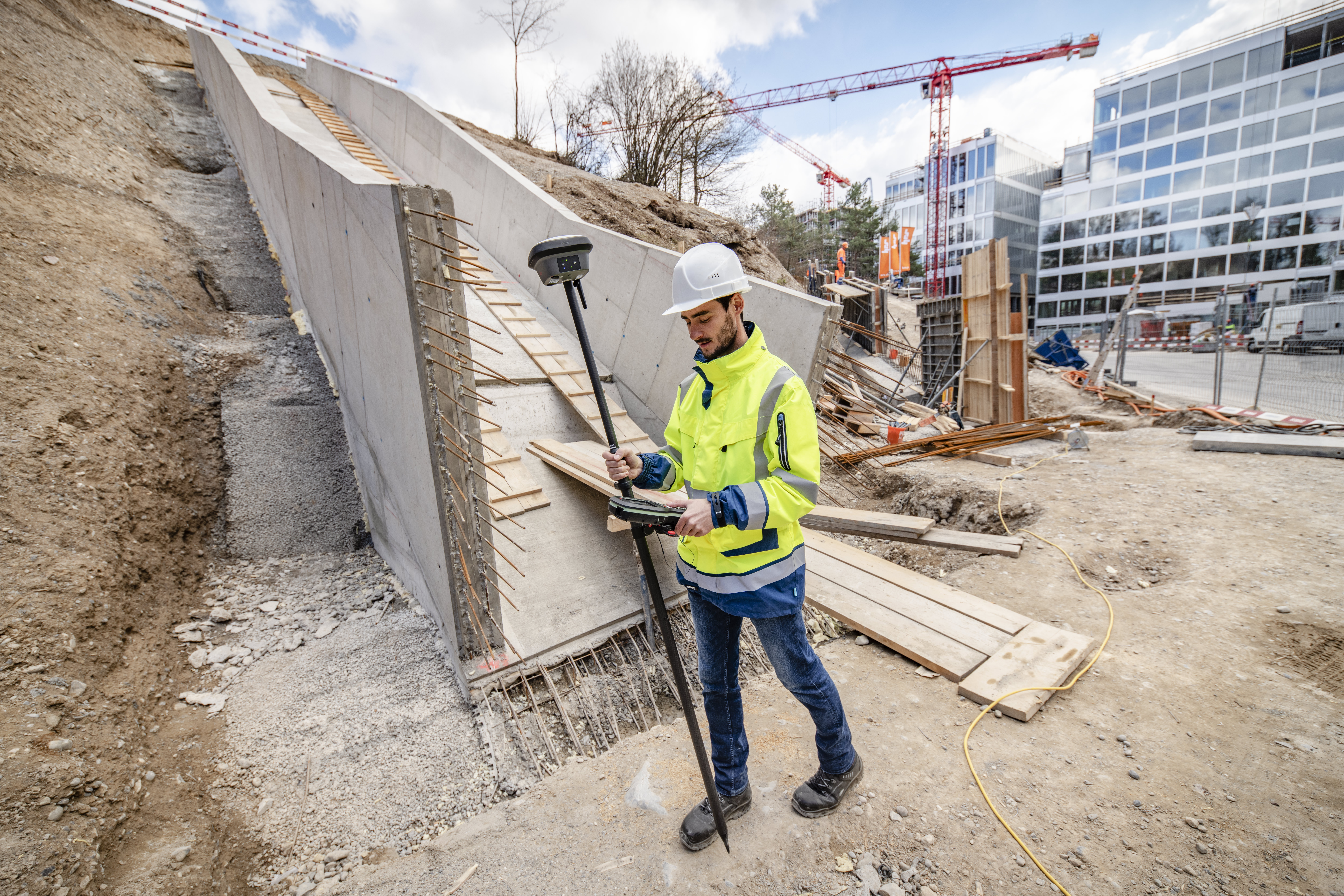
The right tools make a world of difference when it comes to surveying. With the Leica GS18 I, surveying professionals can quickly, easily, and accurately measure points that could previously not be measured with a GNSS rover. This device also allows users to capture the site in images and
measure points from those images. The GS18 I offers a variety of benefits to help you get the job done right.
What is the Leica GS18 I?
The Leica GS18 I is a Global Navigation Satellite System (GNSS) Real Time Kinematic (RTK) rover with innovative visual positioning technology. It allows surveying professionals to capture images of the job site and measure points at the site or back at the office. It includes the same great functionality of the GS18 T, plus visual positioning.
What can you do with the GS18 I?
The high-tech combination of GNSS, an inertial measurement unit (IMU), and a camera create powerful visual positioning capabilities, allowing you to measure whatever you can see. With the GS18 I, you can map points with the pole tilted or leveled. The tilt compensation works instantly and without calibration. Plus, it isn’t bothered by magnetic disturbances, so you can trust that the measurements are correct.
The GS18 I also makes it easier to measure points with an obstructed view to the sky. Additionally, you can capture images and measure points later, even if the scene changes while you wait.
What makes the GS18 I so great?
The Leica GS18 I offers greater control and flexibility without the need for additional equipment.
Speed
Efficiently measure hundreds of points within minutes. The GS18 I allows you to get your surveyingwork done faster as well as spend less time on the job site. Once you’ve captured your images, you can measure the details you need without having to physically reach each point.
Versatility
The Leica GS18 I is a versatile tool that helps you maximize productivity. Thanks to the device’s imaging power, you can measure what you can see, even if you can’t reach those places. No more needing to climb through obstacles or switch tools. This reduces the need for large crews and equipment on the job site, helping you reduce costs an increase profits.
Innovation
The visual positioning technology used in the GS18 I is highly innovative. By combining a camera, IMU, and GNSS, the device allows you to measure points with survey-grade accuracy with an easy-to-use rover. Measure points while you’re in the field or in the office for added convenience.
Try the GS18i today
Ready to see how the Leica GS18 I can help you complete surveying projects faster, more accurately, and with greater ease? The experts at TerraWise Solutions can set you up with this device and other great positioning tools. We offer the latest technology as well as 24/7 support, so you can always count on us to help out. Let’s get your project done on time and on budget. Contact us to learn